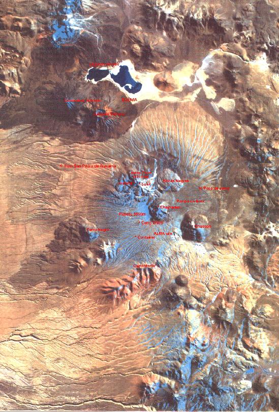
Satellite image of north eastern Chile showing the site and naming some mountains. (1.8 Mb map) |
Joe Tufts's amazing picture looking toward the north from Honar's summit. (75 Kb) |
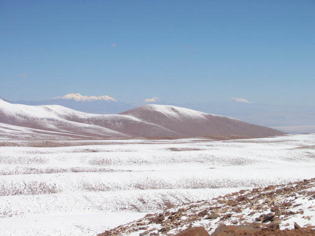
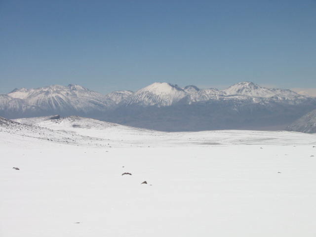 The mountains in Bolivia north of Lagunas Verdes on the big snow day. |
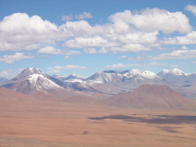
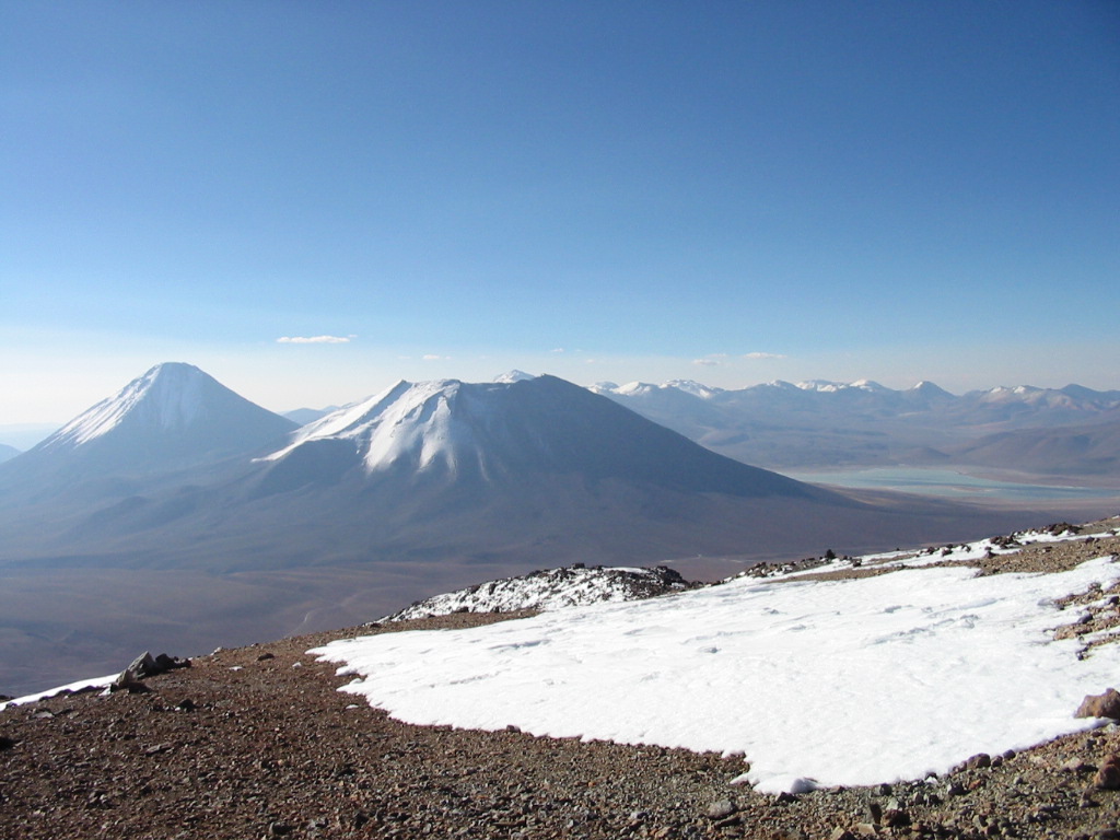
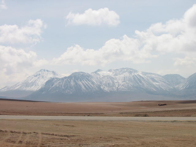 The landscape to the east. The paved road passes between Licancabur and Toco and then bends to the south once past Toco. After a flat plain, there are impressive mountains further east. |
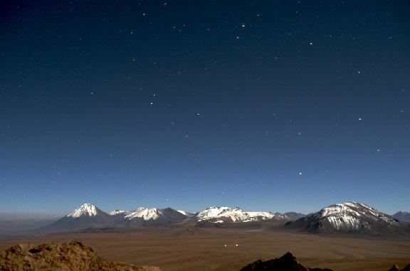
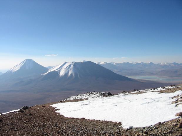
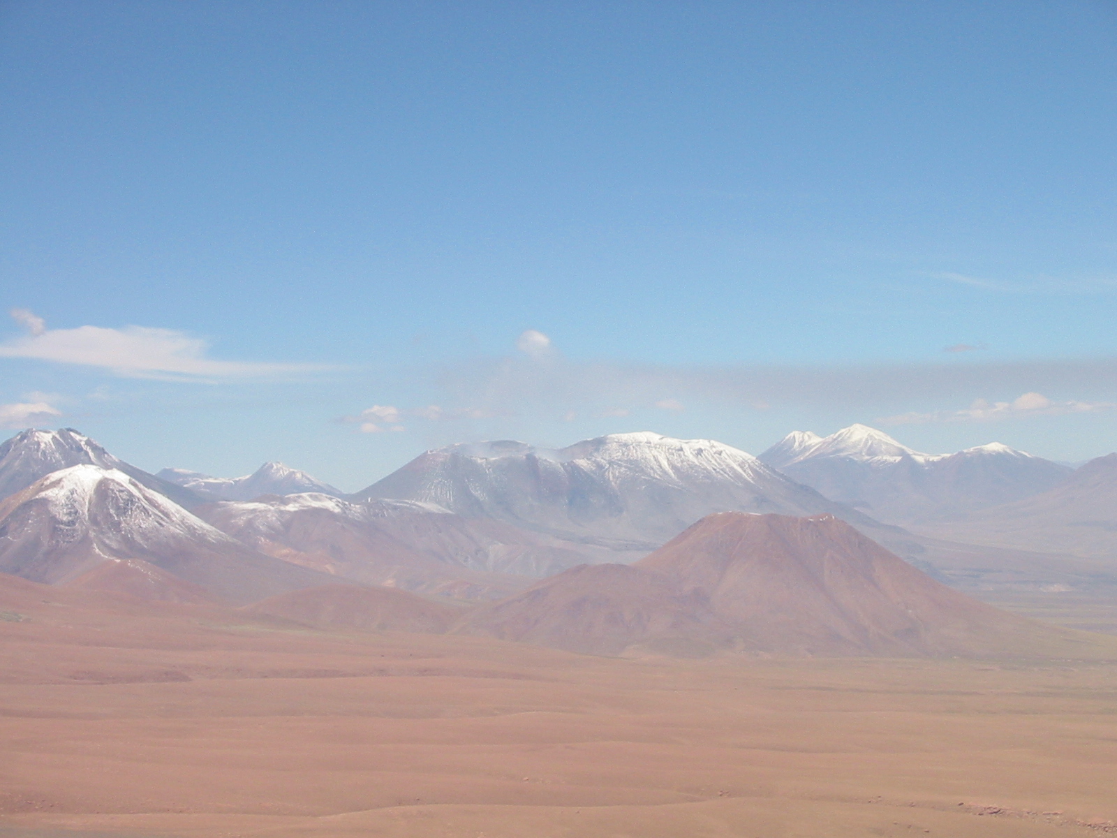
 A view looking south-southwest from the site. The peaks in the distance (no clouds, just peaks) are all 6000m elevation. The furthest is Socampa, over 50 miles away. |
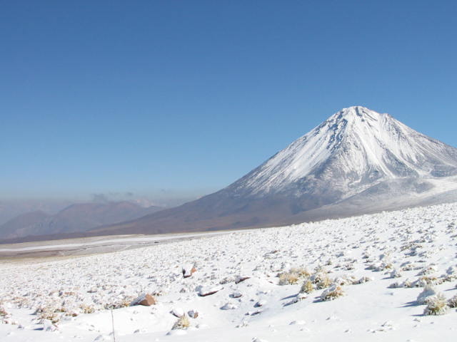
 Lincancabur from the paved road after the light snowfall. This is such a beautiful cone. There is a little lake in the crater at the summit. I've heard someone carried a kayak up to the top and has the record for the highest altitude kayaking. |
 Lincancabur with fresh snow. Some peaks further north really escaped the heavy snowfall. |
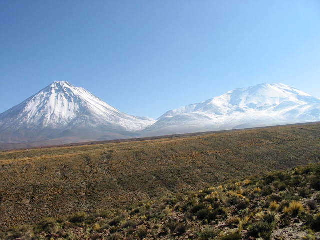 Lincancabur and Juriques from near the paved road. |
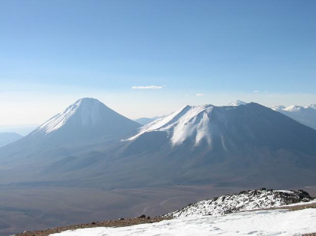 From the summit of Toco looking north to Lincancabur and Juriques. The view from up there was great. (155 Kb) |
 Another view from the summit of Toco showing Lincancabur, Juriques, and the Lagunas Verdes in Bolivia. (210 Kb) |
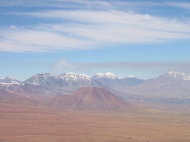
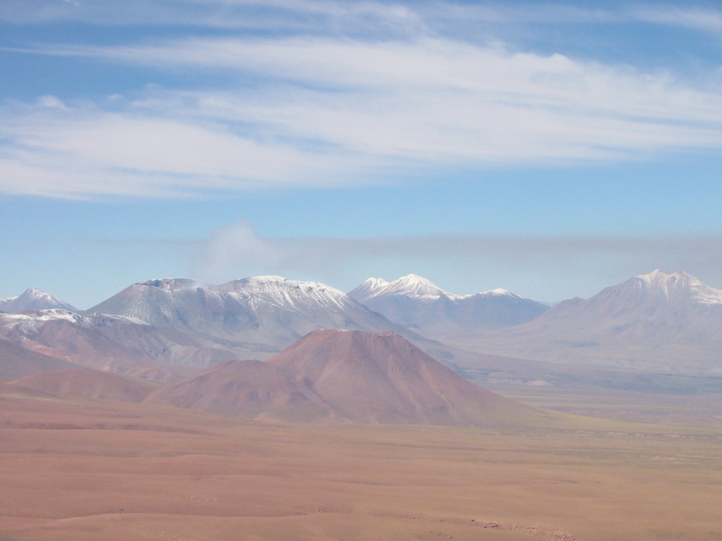
 A picture of the active volcano Lascar (center), just south of Honar. In the picture, you can see both sides of the crater rim with a little bit of smoke rising from the crater. A few years ago, Lascar erupted during a meeting lauded the Atacama site. |
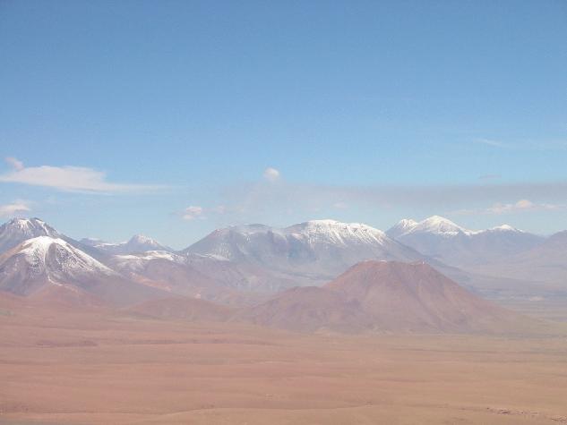
 Another view of Lascar from Honar. After the heavy snow day, it seemed like Lascar was putting out a bit more smoke and that the smoke was a bit darker. (135 Kb) |
 Lascar again. The thin, black smoke layer is just barely visible rising from the crater and then heading west. (630 Kb) |